sprite-icon-accessible-parking
sprite-icon-analysis
sprite-icon-apple-podcasts
sprite-icon-arrow-up
sprite-icon-audio-description
sprite-icon-baby-changing-facilities
sprite-icon-british-sign-language
sprite-icon-caret
sprite-icon-chevron-in-circle
sprite-icon-chevron
sprite-icon-comment
sprite-icon-cross
sprite-icon-deezer
sprite-icon-disabled-parking
sprite-icon-down-block-arrow
sprite-icon-download
sprite-icon-external
Facebook
sprite-icon-google-podcasts
sprite-icon-hearing-loop
sprite-icon-instagram
LinkedIn
sprite-icon-live-subtitling
sprite-icon-medium
sprite-icon-menu
sprite-icon-minus-in-circle
sprite-icon-news
sprite-icon-online-and-in-person
sprite-icon-online-event
sprite-icon-open-quote
sprite-icon-padlock
sprite-icon-pause
sprite-icon-play
sprite-icon-plus-in-circle
sprite-icon-podcast-addict
sprite-icon-press-release
sprite-icon-quote
sprite-icon-right-arrow
sprite-icon-search
sprite-icon-soundcloud-blank
sprite-icon-soundcloud
sprite-icon-spotify
sprite-icon-stitcher
sprite-icon-subtitles
Twitter
sprite-icon-up-block-arrow
Vimeo
sprite-icon-warning
sprite-icon-wheelchair-accessible-venue
sprite-icon-youtube
Skip to content
Menu
Our Fellows
Funding
Events
Policy and Research
Read, Watch, Listen
More
About
Support
Press
British Academy Book Prize
Art
Publishing
Venue hire
Early Career Researcher Network
Flexi-Grant Login
Search
Events
British Academy Lectures
British Academy Conferences
British Academy Summer Showcase
Event terms and conditions
Watch popular past events
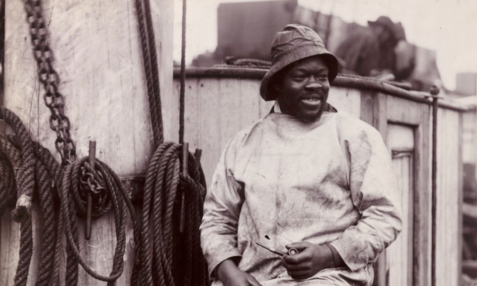
Why history? The hidden histories of black Victorians
Artists in times of crisis: Simon Schama talks to Samira Ahmed
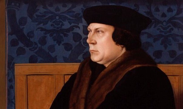
10-Minute Talks: Making the real Thomas Cromwell stand up
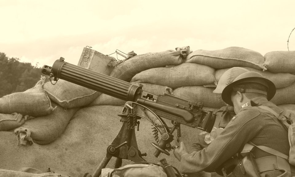
Is COVID-19 a turning point in history? Learning from the past
Sign up to our email newsletters
Sign Up